Why the Caspian Sea Is Legally Neither a Sea Nor a Lake
Salty, tidal-looking, and bigger than Germany, the Caspian fails the classic sea test on a technicality. Five countries spent 20 years fighting over what to call it instead.
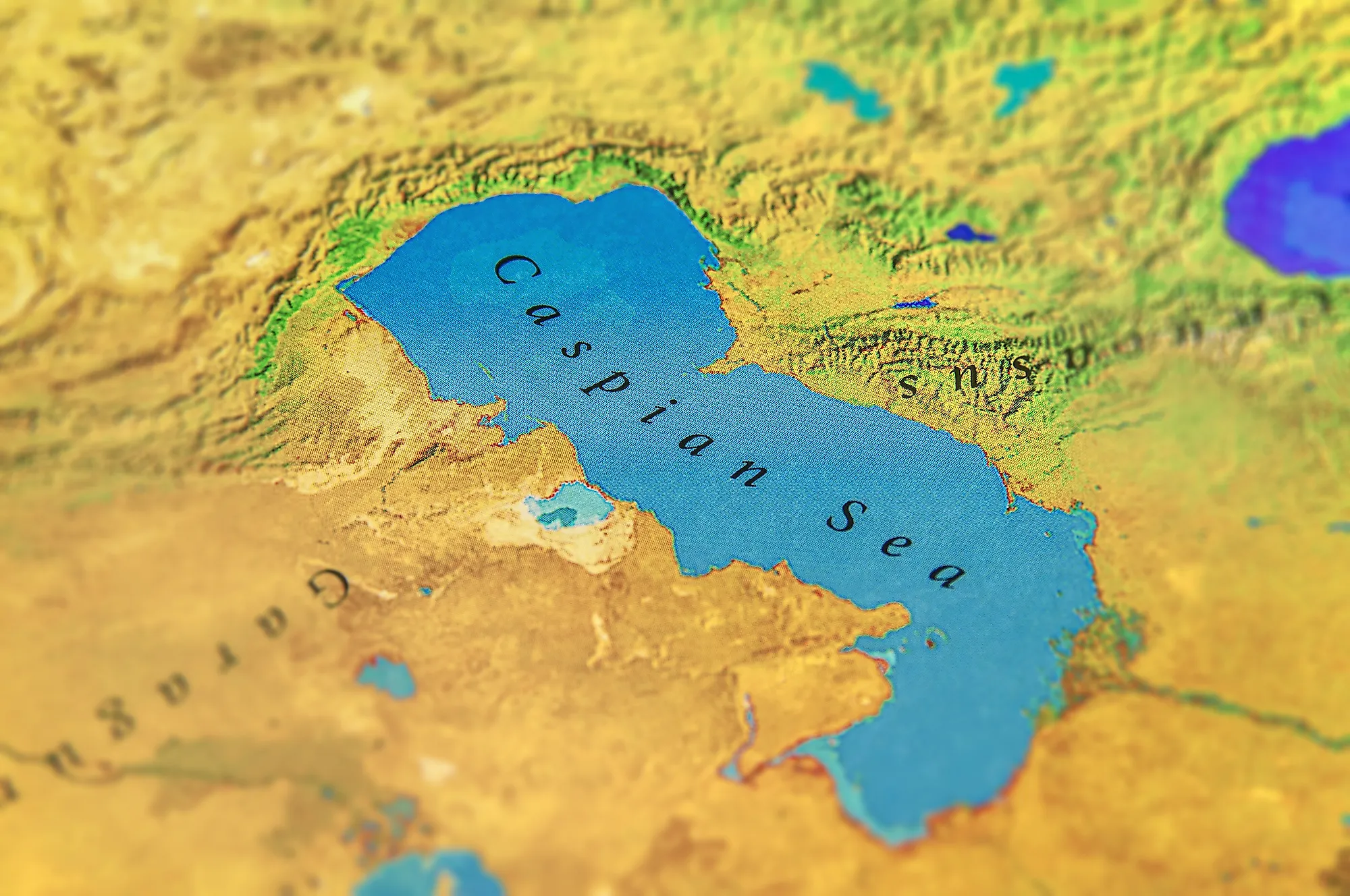
Stand on the Caspian's western shore near Baku and the far side is nowhere in sight — 750 miles of water separate the two ends, longer than the distance from Boston to Chicago. Waves roll in off it looking exactly like ocean surf. The water tastes salty. Every intuition says "sea." Geographers, lawyers, and the five countries that share its coastline have spent decades insisting, officially, that it is neither a sea nor a lake — and the difference between those two words has been worth billions of dollars in oil, gas, and fishing rights.
The test that should settle it, and almost does
The standard geographic test for sea versus lake is connectivity: a sea links to the world's oceans, so its tides and salinity track the ocean's; a lake sits in a closed basin with no natural outlet. By that test, the Caspian is a lake — the largest one on Earth by a wide margin. According to WorldAtlas, it covers roughly 143,000 square miles across five bordering countries — Russia, Kazakhstan, Azerbaijan, Turkmenistan, and Iran — with the Volga River alone supplying about 80% of its inflow and nothing flowing back out except through evaporation, the textbook definition of an endorheic, or closed, basin.
It just doesn't behave like the lakes people picture. At roughly 1.2% salinity, about a third as salty as the ocean, the Caspian is brackish, not fresh — closer in character to a shrunken ocean remnant than to a mountain lake. That's essentially what it is: WorldAtlas reports the Caspian split off from an ancient sea roughly 5.5 million years ago, when tectonic shifts and falling global sea levels sealed the basin off for good. Its water sits at its own independent level today, about 90 feet below the level of the world's oceans, rising and falling with regional rainfall rather than any tide.
The geology that keeps the argument alive
There's a genuine wrinkle underneath the semantics. Seismic surveys of the Caspian's deep southern basin have picked up crust that's unusually dense for a normal continental lakebed — evidence some researchers read as oceanic or transitional crust, a leftover from the ancient sea the Caspian was cut from. That doesn't overturn the lake classification; geographers define lakes by drainage and connectivity, not by what's underneath them. But it explains why "lake" never fully satisfied anyone standing on the shore, salt on their lips, watching whitecaps roll in from a horizon with no other side in view.
Why the label was worth fighting over for 20 years
None of this stayed academic once the Soviet Union dissolved in 1991. For most of the 20th century, the Caspian was effectively split between two countries, the USSR and Iran. The collapse left five successor states — Russia, Kazakhstan, Azerbaijan, Turkmenistan, and Iran — needing to divide territorial waters, fishing grounds, pipeline routes, and valuable offshore oil and gas fields from scratch, and the sea-versus-lake question sat directly underneath the negotiation. Call it a sea, and international maritime law hands coastal states large exclusive zones based on shoreline length. Call it a lake, and the water typically gets divided by agreement among the bordering states on entirely different terms — terms Iran, with the shortest coastline of the five, had every incentive to prefer.
Iran spent years pushing for a flat 20% share regardless of coastline. The other four broadly favored formulas based on coastal length instead. After more than two decades of talks, the five governments split the difference by refusing to fully decide the underlying question. Signing the Convention on the Legal Status of the Caspian Sea in Aktau in August 2018, Russian Deputy Foreign Minister Grigory Karasin told the newspaper Kommersant that the sea would get a status of its own instead:
"It is neither one nor the other. The Caspian Sea will have a special legal status... it is an inland water body that does not have a direct connection with the world's oceans, and therefore can not be considered as a sea. But at the same time, due to its size, water composition and bottom features, the Caspian can not be considered a lake."
Grigory Karasin, Russian Deputy Foreign Minister, to Kommersant, 2018
Under the convention, each country gained territorial waters extending 15 nautical miles from its coast, plus a further 10-nautical-mile exclusive fishing zone, with a central area of the sea left open for shared use. The seabed and its resources, the part everyone actually cared about, get divided separately through direct agreements between neighboring states — roughly the model Russia, Kazakhstan, and Azerbaijan had already been using bilaterally for years. It's not the only contested body of water shaping today's energy geopolitics, either: the standoff over the Strait of Hormuz, thousands of miles south, runs on the same collision of geography, energy wealth, and international law.
The dispute nobody predicted: there may be less sea to argue over
The legal fight over how to slice the Caspian is now colliding with a physical one over how much of it will be left to slice. A study published in the journal Earth's Future in June 2026 found the sea has lost roughly 24,000 square kilometers of surface area since the mid-1990s, an area close to the size of Sicily, with water levels down about two meters over the same period.
Researchers Nima Shokri and Amir AghaKouchak, writing for United Nations University, found the common explanation, climate change driving more evaporation, accounts for only about 40% of the water lost since the mid-1990s. The rest, they concluded, traces to decades of upstream damming and diversion, particularly along the Volga, whose basin actually saw slightly more rainfall over the study period, not less. The Volga-Don canal, which siphons water toward the Black Sea for shipping, was singled out as one significant but rarely discussed contributor. The shallow northern Caspian, the zone most important for fisheries, wetlands, migratory birds, and the sturgeon that produce most of the world's caviar, is drying fastest of all.
That leaves the five signatory states managing a resource under a hard-won 2018 framework built around territorial waters, fishing zones, and seabed rights, for a sea, or lake, that is measurably smaller than it was when most of those negotiations began. The Caspian's exact legal identity may never fully resolve. Its shrinking waterline is a far more urgent argument, and it's one none of the five governments can negotiate their way around.

.jpg)
