Why Turbulence Gets Worse on Winter Flights
Winter turbulence isn't a myth: clear-air turbulence has intensified 41% since 1971, and the jet stream's widest temperature swings happen in the cold months.
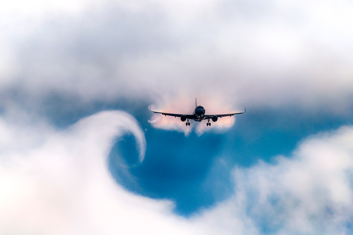
Clear-air turbulence over the North Atlantic — the kind that hits with no cloud in sight and no warning from onboard radar — is now 41% stronger than it was in 1971, according to research from University of Reading atmospheric scientist Paul Williams. Winter is when that turbulence bites hardest, and the reason traces back to a single mechanism: the jet stream.
Turbulence doesn't spike in winter because storms are worse. It spikes because the temperature gap that drives the jet stream — the fast-moving river of air planes ride across the Atlantic — is at its widest, and a wider temperature gap means faster winds and sharper wind shear.
Why Does Turbulence Get Worse in Winter?
Jet streams form where cold air and warm air meet, and that contrast is never sharper than in the cold months, when polar air pushes south while the tropics stay relatively warm. The Royal Meteorological Society explains that this contrast fuels jet-stream wind speeds directly — the bigger the temperature difference across the jet, the faster the core winds blow and the more shear builds at its edges. That shear is what shakes the cabin. Pilots and meteorologists call the resulting bumps clear-air turbulence, or CAT, because it happens in open sky with nothing visible to warn a flight crew before it hits.
Unlike the choppy air near a thunderstorm, which shows up clearly on weather radar, CAT is invisible to onboard instruments. It can start without warning strong enough to catch even a flight crew that has the seatbelt sign off.
Is Clear-Air Turbulence Really Getting More Common?
Yes, and the trend has a paper trail. Williams and colleagues compared four decades of turbulence data across the North Atlantic and found that light CAT rose 17% between 1979 and 2020, while severe CAT — the kind strong enough to throw unbuckled passengers against the ceiling — jumped 55% at a typical spot along that route, according to the Royal Meteorological Society's summary of the research. In raw hours, the North Atlantic logged 26 more hours of moderately strong turbulence in 2020 than it did in 1979, a 37% increase; the skies over the continental United States picked up 19 more hours, a 29% rise over the same stretch.
Why Is Winter Turbulence Different From Summer Turbulence?
Because the two seasons are turbulent for almost opposite reasons. Summer turbulence mostly comes from thermal updrafts and storm cells — heat rising off the ground, afternoon thunderheads, the kind of bumps that build with visible clouds and often show up on radar in time to route around them, as TravelAwaits laid out in its breakdown of seasonal turbulence patterns, citing National Weather Service turbulence categories. Winter turbulence is quieter and harder to dodge: clear-air turbulence from jet-stream shear, plus mountain-wave turbulence where fast winter winds slam into ranges like the Rockies and get thrown into rolling waves downwind. Both can occur in a completely cloudless sky, which is exactly why they catch passengers off guard more often than a summer storm does — the same wind-driven physics that shapes how planes take off and land is quietly working against a smooth cabin at 35,000 feet.
Can Airlines Predict It — or Just React to It?
They can forecast the odds, not the exact bump. Airlines route around known jet-stream cores and mountain-wave zones using forecast models, and pilots ahead of a flight file Pilot Reports (PIREPs) that warn crews behind them about rough patches. What nobody can do is spot clear-air turbulence in real time the way a thunderstorm shows up on radar — it's simply not there until the plane is already inside it. That gap between "known risky zone" and "confirmed rough air right now" is the entire reason airlines keep telling passengers to stay buckled even when the seatbelt sign is off, a caution that matters more in winter than any other season.
The physics behind it isn't changing anytime soon, and by most projections it's intensifying: Williams' research suggests severe clear-air turbulence over the North Atlantic could double or triple by the middle of the century as the temperature contrast driving the jet stream keeps widening. Winter already gives that mechanism its best conditions of the year — which is exactly why the rough patch over the ocean in January rarely surprises meteorologists, even when it surprises everyone in economy.