Why King Tides Flood Streets Without a Single Storm
Twice a year, the moon and sun line up to push ordinary high tides over seawalls with no storm in sight, and South Florida just published exactly when it happens next.
No hurricane has to make landfall for a coastal street to end up underwater. Twice a year, without a drop of storm rain, the ordinary high tide along parts of the U.S. coast climbs high enough on its own to swamp parking lots, close roads and back up storm drains. This month is one of the two windows when it happens.
The mechanism has an official name: a perigean spring tide, commonly shortened to "king tide." It happens when the moon reaches perigee, its closest approach to Earth in its monthly orbit, at roughly the same time it lines up with the sun and Earth during a new or full moon. That alignment, called syzygy, stacks the moon's and sun's gravitational pull in the same direction instead of letting them partly cancel out, according to NOAA's Annual High Tide Flooding Outlook, whose tide gauges have repeatedly photographed the resulting floods, from a "sunny day" flood in St. Petersburg, Florida, to cars pushing through standing water on a Charleston, South Carolina, street during a documented perigean spring tide.
When are the next king tides in 2026?
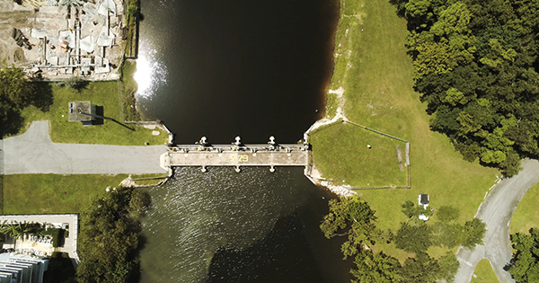
South Florida's water managers publish the clearest public forecast in the country. The South Florida Water Management District's 2026 King Tide Season Forecast lists high tides peaking along the East Coast Sept. 8-15 around this month's new moon, then again Sept. 24 through Oct. 15 as a full moon and new moon overlap, with the single highest predicted peak of the year landing Oct. 27. The Florida Keys face an unusually long stretch, Aug. 24 through Nov. 17, spanning three consecutive lunar phases, with peaks predicted Oct. 28 and 30. The district manages roughly 700 miles of shoreline and more than 40 gravity coastal structures sitting upstream of tidally influenced canals, and it now blends NOAA's raw tide predictions with wind, sea-surface temperature and swell data through a partnership with the University of Miami's Rosenstiel School to sharpen those local forecasts.
Why do king tides keep getting worse?
The moon's orbit and the calendar haven't changed; the water underneath them has. Perigean spring tides have flooded low-lying coasts for as long as there has been a moon, but sea levels have risen enough in recent decades that a tide that once lapped at a seawall now regularly tops it. NOAA's own annual outlook attributes the trend to long-term sea level rise layered on top of the routine astronomical cycle, and its scientists project the effect will keep compounding: a national average of 55 to 85 high tide flood days a year by 2050, up from the single-digit counts most coastal cities saw a generation ago.
The practical effect lands on whoever owns property near the water line, not just whoever lives through a hurricane. Repeated nuisance flooding chips away at roads, drainage systems and foundations even when no single event makes the news, and insurers increasingly price that slow attrition into coastal premiums the same way they price storm risk, part of why insurers backing away from high-risk coastal and wildfire zones has become such a recurring storyline nationally, not a Florida-only problem. City engineers who track these tide windows use them to schedule storm-drain maintenance and pump testing before, not after, the water shows up.
That is the same slow-moving math behind why storm-driven flood risk keeps outrunning the official category scale attached to hurricanes: the baseline water level a storm surge builds on top of is simply higher than it used to be, in Florida and every other low-lying coast the tide touches. King tides are the preview readers get without needing a storm at all. Mark the forecast windows, and the flooding shows up on schedule, sunny sky included.