SoCal's Possible Record Tides: 6.8 Feet Astronomical, 1.35 From the Sea
Sunday's preliminary 7.71 feet left Los Angeles about 2.5 inches short of its 7.92-foot record. Astronomy sets the base; the Pacific's extra water decides whether this week beats it.
The Los Angeles tide gauge reached a preliminary 7.71 feet on Sunday, Oct. 25, which is 2.5 inches below the 7.92-foot record set on Jan. 10, 2005.
Southern California is in the middle of a five-day run of tides that forecasters say could be the highest in its measured history. The National Weather Service has a coastal flood advisory for Los Angeles, Ventura, Santa Barbara and San Luis Obispo counties and the Malibu coast, and a coastal flood warning for Orange and San Diego counties. Both run until 1 p.m. PDT on Thursday, Oct. 29. NWS expects late-morning highs of 7.5 to 8.0 feet and says Monday through Wednesday could challenge the record at the Los Angeles Harbor gauge in San Pedro.
NOAA's table for the Monday-through-Wednesday highs sits near 6.7 to 6.8 feet, and NWS puts the extra water at 1.0 to 1.5 feet for Los Angeles County and 1.5 to 1.7 feet for Orange and San Diego counties. Those two numbers decide the week, and the Moon and Sun are already inside the first.
"Feet" here means feet above mean lower low water, the average daily lowest level observed between 1983 and 2001. The mechanics of a king tide are covered in our earlier explainer, so this piece sticks to the numbers. Readers can compare the live reading with the prediction on NOAA's Los Angeles tide gauge page, which carries both for station 9410660.
Four mornings, four numbers
The table below uses NOAA Tides & Currents predictions for station 9410660. The last column is arithmetic, not a forecast: the prediction plus Sunday's extra water.
| Morning | High tide (PDT) | NOAA prediction (feet) | Extra water needed to pass the 7.923-foot record | Height if Sunday's extra 1.35 feet holds |
|---|---|---|---|---|
| Mon., Oct. 26 | 9:18 a.m. | 6.66 | 1.26 | 8.01 |
| Tue., Oct. 27 | 9:52 a.m. | 6.80 | 1.12 | 8.15 |
| Wed., Oct. 28 | 10:31 a.m. | 6.75 | 1.18 | 8.10 |
| Thu., Oct. 29 | 11:16 a.m. | 6.49 | 1.43 | 7.84 |
Tuesday is the easiest morning to break the record, and Thursday the hardest.
The ocean has been adding more than that. By NOAA's preliminary data, the morning highs on Thursday, Oct. 22, through Sunday, Oct. 25, ran about 1.36, 1.25, 1.38 and 1.35 feet above the table. So far in October (through the 26th, preliminary), the average is about 1.20 feet, up from about 0.76 in September. From January through August, each month averaged between 0.30 and 0.51 feet. That growth is consistent with a warming ocean rather than a one-off surge, though no source states it outright.
So the margin is measured in inches. If Sunday's offset holds, Monday and Wednesday clear the record and Tuesday clears it by the most. Thursday falls 0.08 foot short. At the 1.0 foot that NWS Los Angeles/Oxnard cites as the low end, every morning misses. At 1.5 feet, every morning passes. NWS's own range of 7.5 to 8.0 feet straddles the record, and NWS Oxnard's point projections (8.0 to 8.1 feet, the Times reports) top it, so a record is possible, not certain.
Newport Beach's numbers are higher because its offset is. The city says Sunday's high reached 8 feet, 1.8 feet above what the tide alone would produce, and expects 8.3 feet Monday, 8.5 Tuesday and 8.4 Wednesday. Orange County's warning, from NWS San Diego, cites observed tides 1.5 to 1.7 feet above predictions; Los Angeles County's advisory, from NWS Oxnard, cites 1.0 to 1.5.
The difference between the two alerts is in NWS's wording. The advisory expects "minor to moderate coastal flooding," with sea water over "beach parking lots, bike paths, and harbor walkways." The warning expects "significant coastal flooding," with "numerous roads" possibly closed and low-lying homes inundated. For Los Angeles County, NWS puts it plainly:
"While these tides might be the highest of all-time, similar extreme tides in the past tell us that coastal communities should expect shallow flooding of harbor walkways, beach parking lots and bike paths."
National Weather Service (Los Angeles County)
Newport Beach declared a local emergency on Monday, Oct. 19. City Manager Seimone Jurjis said in a statement that the Balboa Peninsula and harbor islands are "of particular concern." Flooding covered parts of the peninsula on Friday, Oct. 9.
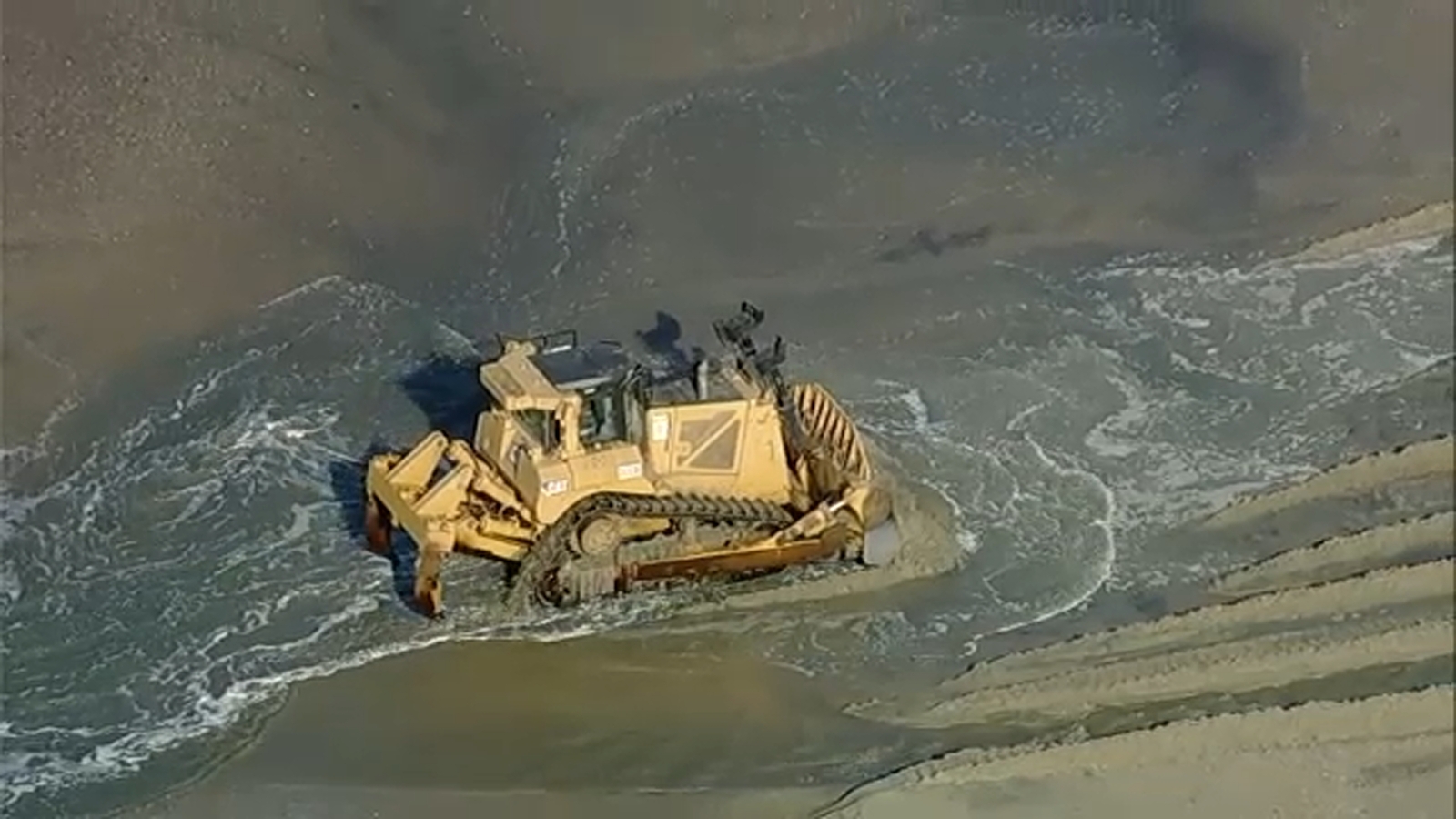
The Long Beach Peninsula is in the advisory tier, but its beach has already been stripped. Several homes have been red-tagged, crews are fortifying sand berms, and an $11 million dredging project is pumping sand onto the shoreline. Resident Larry Manzo told ABC7 what that looks like.
"I've been down here since 2001. I've never seen it this bad."
Larry Manzo, Long Beach resident
In San Diego County, La Jolla's record is 7.81 feet, set on Nov. 25, 2015, and Sunday's reading there was 7.66. Add NWS San Diego's 1.5 to 1.7 feet to NOAA's 6.59-foot Tuesday prediction and the scenario is 8.09 to 8.29 feet, a record there too.
On land, Metrolink has suspended Orange County Line service between Laguna Niguel/Mission Viejo and Oceanside from Monday through Friday, Oct. 26-30, with no replacement buses. Caltrans has closed the two lanes nearest the cliff on Pacific Coast Highway near Laguna Beach after finding a crack below the road.
Astronomy sets 6.8 feet; the ocean supplies the rest
The Hunter's Moon was full at 9:12 p.m. PDT on Sunday, Oct. 25. The Moon reaches perigee, its closest point to Earth, on Oct. 28. NOAA's Los Angeles prediction peaks on Tuesday, about 37 hours after the full phase.
That alignment has a name. NOAA's explanation of perigean spring tides says one occurs "when the moon is either new or full and closest to Earth," and that tides then "can be significantly higher than during other times of the year."
The point for this week is that NOAA's predictions already count the Moon and the Sun, perigee included. The 6.80 feet predicted for Tuesday is the astronomical contribution, in full. What the table does not know is sea-surface temperature, a Kelvin wave or a storm.
Compare the record morning. In 2005, NOAA predicted 7.218 feet and the gauge read 7.923, so the extra water was 0.705 foot. This week's biggest prediction is 6.803, which is 0.415 foot lower. To match the record on Tuesday, 2026 needs about 1.6 times 2005's extra water. The astronomical share is smaller; the ocean's is bigger.
Scripps researcher Reinhard Flick, quoted by the Times:
"As far as I know, this is unprecedented, especially for this length of time."
Reinhard Flick, researcher, Scripps Institution of Oceanography at UC San Diego
Flick also says water levels have been at least "half a foot above the prediction for months." NOAA's gauge agrees in recent months: the monthly average offset passed half a foot in August and has risen since.
Several causes stack up. The first is heat. NWS meteorologist Dave Munyan told ABC7 that warmer sea-surface temperatures are contributing to a thermal expansion of the water.
"A warmer body of water will be a little bit thicker."
Dave Munyan, meteorologist, National Weather Service
The second is a Kelvin wave, a planetary-scale ocean wave that travels up the coast from near South America. NWS meteorologist Matthew Kidwell described it to the Lost Coast Outpost as water "sloshing" back toward the coast, not a big wall of water. Munyan ties it to the El Niño that Daybreak Wire tracked in July, with "a slosh effect, which is kind of bolstering those background tides." The Times notes the 2005 record "occurred during a weak El Niño." On Oct. 8, NOAA's Climate Prediction Center said a strong-to-very-strong El Niño is likely through January-March 2027, a chance it put above 83%.
The third is a marine heat wave. The Times says the ocean temperatures "have been affected not only by human-caused climate change, but also an El Niño-fueled Kelvin wave and a months-old marine heat wave unrelated to El Niño."
South Florida is in its own tide stretch through Oct. 31, the Miami Herald reports. The Moon's timing is continent-wide; the extra water here is local.
That brings up the label. The California Coastal Commission's king tide calendar defines king tides as "the highest predicted tides of the year," and lists Nov. 24-26, Dec. 23-25 and Jan. 21-22. Its dates exclude storm surge and El Niño. Newport Beach's release and TV coverage still use "king tides" for Oct. 26-28. In the Coastal Commission's sense, those come later: Tuesday's 6.80 feet is lower than the 7.22 predicted for the 2005 record morning, and lower than the 7.18 predicted for Nov. 25.
What a record does and does not say about sea-level rise
NOAA's trend at the Los Angeles gauge is 0.42 inch per decade, plus or minus 0.04, measured from December 1923 to December 2025. Over those 102 years, that adds up to about 4.3 inches.
The present offset is about 16 inches. That is about 3.8 times the century's rise at Los Angeles, so most of this week's extra water is not long-term sea-level rise. It is a temporary pattern of ocean heat and El Niño, riding on a base that is rising slowly.
Neither does it fall outside climate. The permanent part is small, but it raises the floor every extra-water event stands on. Climate.gov's summary of the 2022 NOAA-led technical report says U.S. coastal sea levels "will rise an additional 10-12 inches by 2050," with regional variation, mainly from changes in land height. The Coastal Commission frames king tide photos as a preview, asking:
"What will our coast look like when the King Tides of today become our everyday high tides?"
California Coastal Commission
The fair reading is a split one. A record this week would be a measure of the Pacific's present state, not of sea-level rise. It would still show how little margin each such event has to spare.
Sandbags, parking and the beach before 1 p.m. Thursday
Highs come in late morning, from 9:18 a.m. at Los Angeles on Monday to 11:16 a.m. on Thursday.
Newport Beach is handing out free pre-filled sandbags while supplies last, at three sites: the Corporation Yard at 592 Superior Ave., Marina Park at 1600 W. Balboa Blvd., and Temporary Fire Station No. 1 in the East Ocean Front parking lot near Balboa Pier. The city asks residents to protect "seawalls, garages, doorways and other low-lying openings." Details are on Newport Beach's El Niño page, and alerts go out through Newport Notified. Long Beach residents can sign up for Alert Long Beach.
Vehicles are the cheapest thing to save. The city asks residents to "Relocate vehicles, particularly low-clearance vehicles, away from flood-prone streets and parking areas." That includes beach lots, one of the places NWS expects to flood.
On the beach, NWS San Diego's checklist is short, and the office posted it on Sunday:
Post by @NWSSanDiego
The Times adds NWS's advice that beachgoers should stay off jetties and sea walls, and avoid beaches altogether during high tides. Do not drive around barricades or through water of unknown depth. NOAA's Doug George put it directly:
"The warning and advisories are real. People should take them seriously because conditions are favorable for flooding."
Doug George, oceanographer, National Oceanic and Atmospheric Administration
Two dates sit beyond Thursday. NWS says the pattern changes around then, with "a growing chance of a significant storm impacting the local area as early as Friday," and a 90% chance of rain sometime in the Oct. 30-Nov. 2 window. And on Wednesday, Nov. 25, at 8:34 a.m., the table reads 7.18 feet. The record would then need only 0.74 foot of extra water, the day before Thanksgiving.