What Is a Flash Drought? The Dry Spell That Outruns the Forecast
A flash drought can turn a healthy field into a stressed one within days, driven by heat and wind rather than a lack of rain. Farmers and forecasters are racing to catch up.
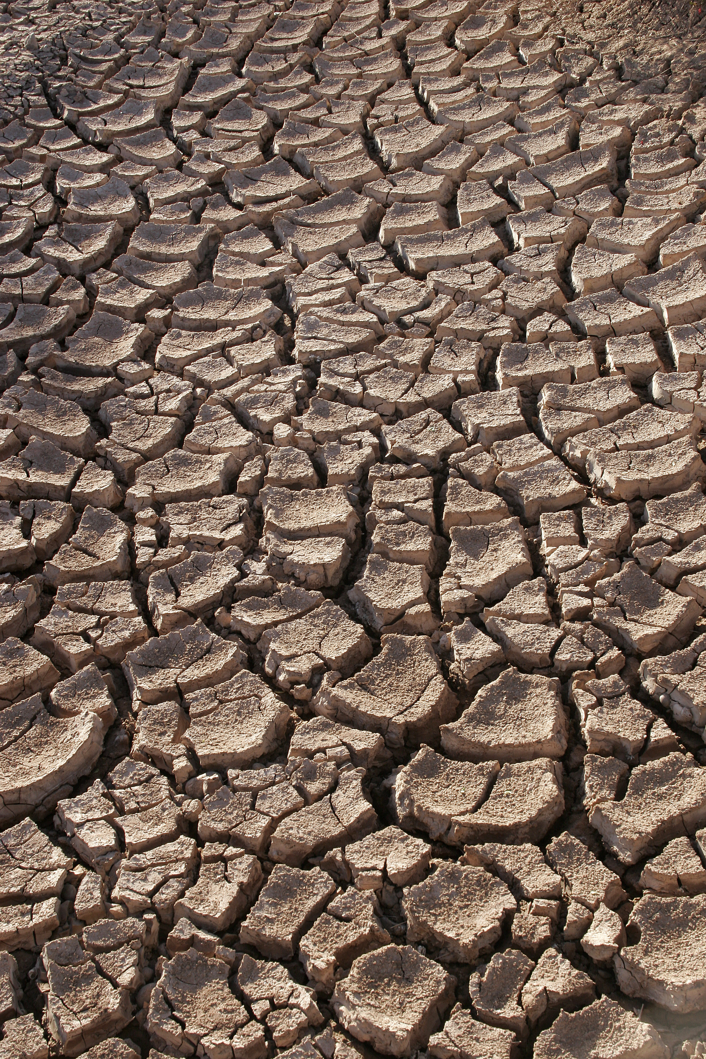
Farmers watch soil moisture the way other people watch a bank balance. A normal drought gives them weeks of warning as the numbers slide. A flash drought doesn't. It can turn a field from healthy to stressed in a matter of days, driven not by an absence of rain so much as heat, wind and sun pulling the moisture out of the ground faster than any crop can use it.
The National Integrated Drought Information System flagged exactly that kind of event over the Upper Midwest this year, warning of rapid-onset drought risk for parts of Minnesota, Iowa, Wisconsin and Illinois as extreme heat moved in behind a dry stretch — the textbook setup, and a reminder that flash drought isn't a rare, exotic phenomenon. It's a specific mechanism that shows up almost every growing season somewhere in the country.
Post by @NOAADrought on a potential flash drought in the Upper Midwest
What is a flash drought?
A flash drought is the rapid onset or intensification of drought conditions, developing over weeks rather than the months or years a conventional drought takes to build. The National Oceanic and Atmospheric Administration defines it using a "flash drought intensity index" that tracks how fast dryness worsens and how severe it becomes, rather than relying on rainfall totals alone.
That distinction matters because a flash drought isn't always about a lack of rain. NOAA research analyzing drought data from 2001 to 2021 found the western United States mostly gets hit by flash drought the conventional way: too little rain. But in the central and eastern U.S., the bigger driver is usually low soil moisture combined with high evaporation, meaning a flash drought can take hold even in a stretch that doesn't look unusually dry on a rain gauge. The same study, published in the journal Water Resources Research, identified the central and southeastern U.S. as the regions where flash droughts tend to hit hardest.
Why do flash droughts catch farmers off guard?
Conventional drought monitoring updates on a weekly cycle, which is normally plenty of lead time. A flash drought can outrun that cycle entirely, soil moisture and evapotranspiration rates shifting fast enough that a field looks fine on Monday's map and stressed by the following week's. For a corn or soybean crop moving through a critical growth stage, that gap between the monitoring lag and the actual conditions on the ground is where the damage happens. Irrigation decisions, insurance triggers and even simple harvest timing all lean on drought data that flash drought is specifically built to outpace.
Is climate change making flash droughts more common?
Researchers monitoring drought behavior over recent decades have documented a broader shift toward faster-developing droughts across a large share of the world's land regions, consistent with a warmer atmosphere pulling moisture out of soil more aggressively once a dry spell starts. That doesn't mean every flash drought is climate-driven (the Upper Midwest event NIDIS tracked this year followed an ordinary summer heat pattern), but the mechanism climate change strengthens (hotter air demanding more moisture from the ground) is the exact one flash drought depends on.
How is a flash drought different from an ordinary drought?
An ordinary drought is a slow accumulation of a rainfall deficit; you can usually see it coming a season out. A flash drought is defined by its speed and its cause: abnormally high temperatures, wind and solar radiation driving rapid evapotranspiration, sometimes with normal or even above-normal rain totals earlier in the season. Two fields with identical spring rainfall can end up in completely different positions by August depending on which one gets hit by a flash drought's heat-and-wind combination.
The practical upshot for anyone outside agriculture: the U.S. Drought Monitor map you might glance at during a heat wave is a reasonable snapshot, but it can also already be a week behind reality if a flash drought has taken hold since the last update. NIDIS and the National Weather Service's Climate Prediction Center hosted a seminar on the growing threat of flash drought on July 13, underlining that better short-term monitoring, not just more rain, is the main thing standing between an ordinary dry spell and a flash drought nobody saw building until the fields already showed it.
It's the same monitoring-versus-reality gap that shows up whenever weather agencies try to communicate a fast-moving hazard: the distinction between a fire weather watch and a red flag warning exists for almost exactly this reason, and the same federal process that governs how a wildfire gets its name is part of the broader early-warning system NIDIS is trying to speed up for flash drought too.